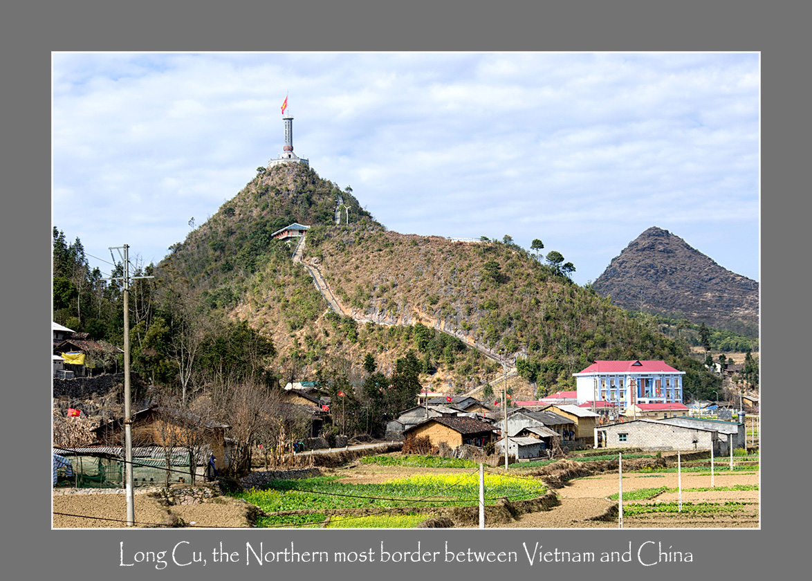
We went on a photosafari tour to Ha Giang district in February 2014. One of the highlights was a visit to the Dragon Mountain of Lung Cu where the Vietnamese flag pole is situated. This represents the Northernmost point in Vietnam and beyond that the land belongs to Yunnan (China). The altitude here is around 1,600m above sea level.
Lung Cu has a total area of 3460 hectares with 9 villages, there are: Lo Lo Chai, Seo Lung, Ta Gia Khau, Can Tang, Then Van, Then Pa, Si Man Khan, San Cho, San Sa Phin and borders with China more than 16 kilometers. Here, in the winter, it is very cold and has snow. Among 9 villages, Lung Cu Thi Seo Lung village located in uppermost land with Then Phan valley on the left and Nho Que River on the right.
This place is the home of ethnic tribes like H’mong, Lo Lo and Giay. The main occupation here is mainly rice farming. The people here are really friendly. We had a good time interacting with the local residents.

Coming home.

Here in the Lo Lo village just opposite the Flagpole, a lady was ploughing the plot of land just outside her house.
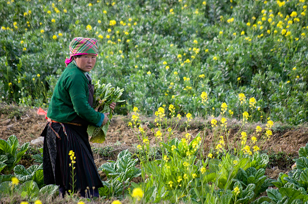
The villagers were harvesting vegetables and preparing the fields for rice planting.

Women folk usually bring their children, cows and dogs to the field to work

A little kid of the Lo Lo village

Patriotism starts young
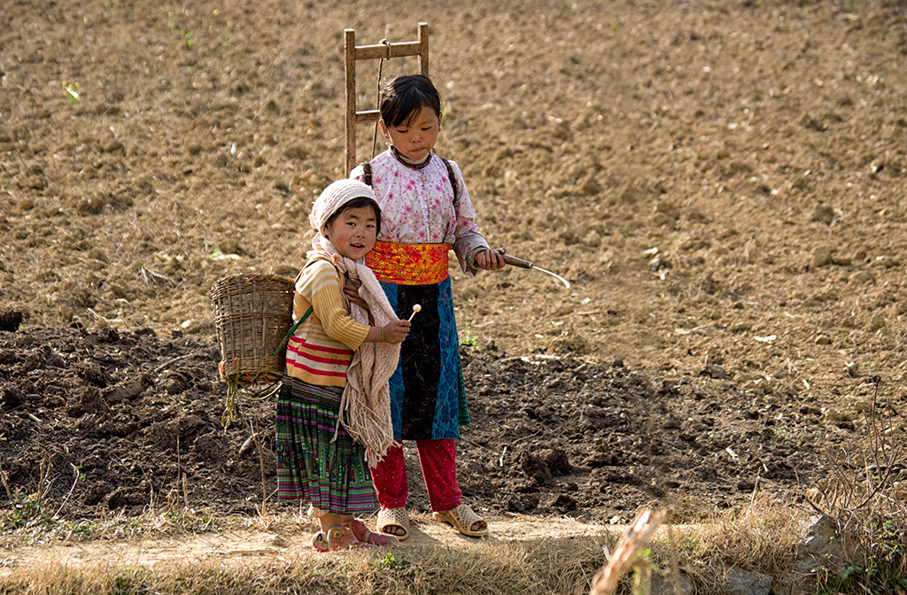
Children helping out in the farm.

Goodbye girl, we will be back


